Programs
Geographic Information Systems
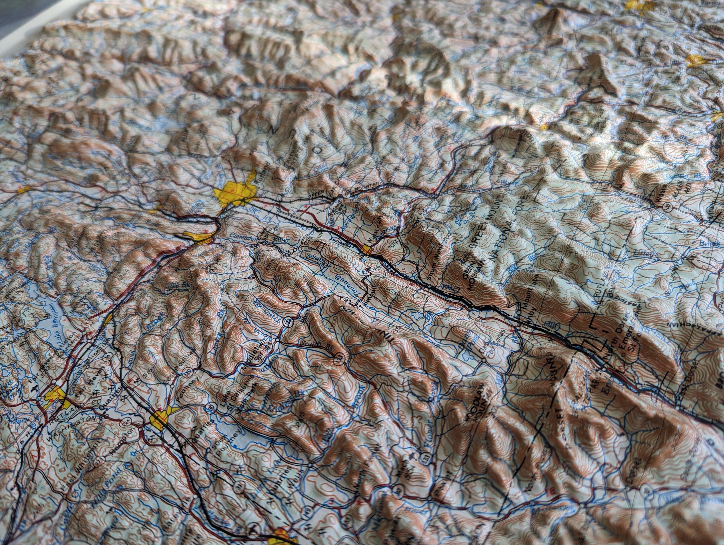
GIS is not the name of any particular software but a branch of data science that seeks to answer questions with a ‘where?’ Emergency planning, property line delineation, demographics, city planning, statistical prediction and more are all possible even with free software.
QGIS, ArcGISPro, LiDAR processing, webmapping, cartography and photogrammetry.
Classes available in person or online. Must have access to a computer with at least 16gb of RAM. Ages 14+ with some computer literacy.

A Map for a Cat
Join us for DesignxRI’s Design Week! How can a map look any other way? Isn’t that just how the world looks like? When we design anything, we try to anticipate how our creations are going to get used by other people and we make assumptions about who our audience is. Join a real, live cartographer in a map making activity that will make you rethink how you see the world.
Other workshops include navigation with a magnetic compass, make a custom globe, make a spray paint map on a t-shirt.
All ages but particularly fun for 10+

“My kids loved the experience and I did too. With the kids and parents, you were engaging, flexible, and had excellent classroom management (former public school teacher here) all with a healthy and appreciated dose of dry humor.”
School Visits
Andrew is a real, live, actual cartographer so when he goes on the road, he brings the maps, the stories and enthusiasm. These visits are an excellent complement to class discussions of science, history, art and local heritage. Guaranteed to engage students.
“What counts as a map?” “Who uses maps?” “How do you make a map from scratch?” “Which is the most accurate map?”
Ages 10 and above.
